

توضیحات
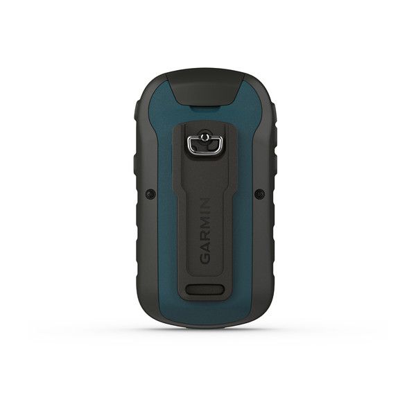
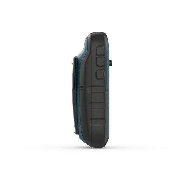
معرفی جی پی اس دستی گارمین eTrex 22x
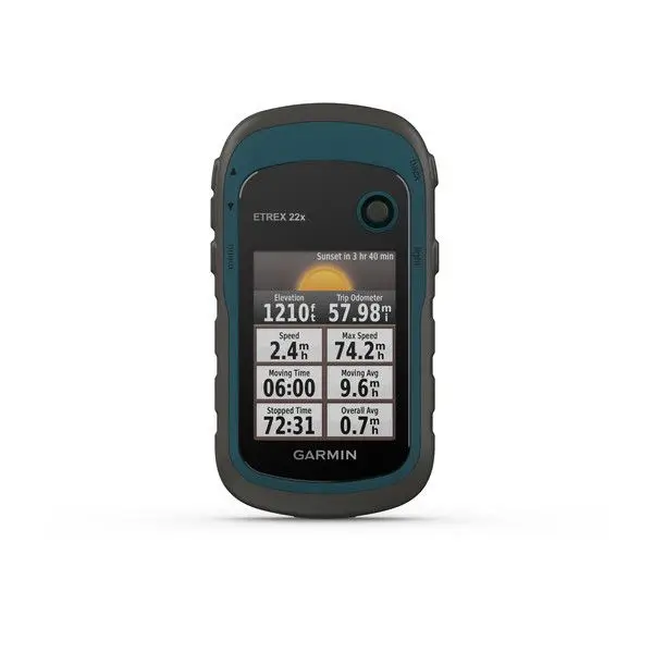
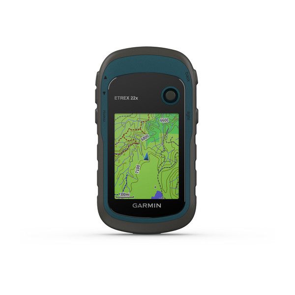
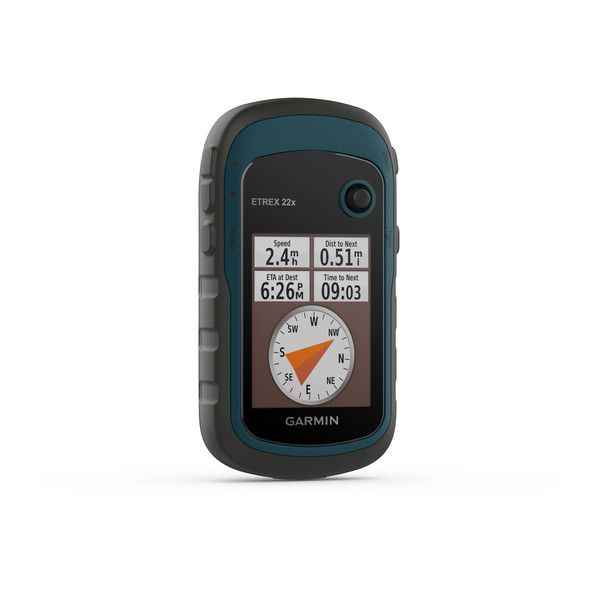
eTrex 22x یک گیرنده GPS دستی با صفحه نمایش رنگی 2.2 اینچی است که برای استفاده در فضای باز طراحی شده است. این دستگاه دارای نقشه های TopoActive Europe از پیش بارگذاری شده است و از GPS و GLONASS برای ردیابی موقعیت شما حتی در چالش برانگیزترین محیط ها پشتیبانی می کند.
جی پی اس گارمین eTrex 22x دارای چندین ویژگی دیگر است که آن را به ابزاری عالی برای کاوش در فضای باز تبدیل می کند، از جمله:
1. یک قطب نما الکترونیکی 3 محوره و ارتفاع سنج بارومتریک برای کمک به شما در جهت یابی و ردیابی ارتفاع خود
2. پشتیبانی از پروفایل های مختلف فعالیت مانند پیاده روی، دوچرخه سواری و کوهنوردی
3. سازگاری با تصاویر ماهواره ای BirdsEye برای مشاهده عکس های هوایی با وضوح بالا از منطقه شما
4. عمر باتری طولانی تا 25 ساعت
eTrex 22x یک GPS قدرتمند و همه کاره است که برای هر کسی که دوست دارد کاوش در فضای باز را دوست دارد، انتخاب عالی است.
کاربرد GPS EXTREX 22x
جی پی اس گارمین eTrex 22x کاربردهای متعددی در زمینه های مختلف دارد. برخی از کاربردهای این دستگاه عبارتند از:
کوهنوردی و پیاده روی:
- مسیریابی و پیمایش در مسیرهای مختلف
- ردیابی و ثبت مسیر پیموده شده
- محاسبه مسافت، سرعت و ارتفاع
- یافتن نقاط مورد علاقه (POI) مانند آبشارها، پناهگاه ها و قله ها
- دریافت هشدار در صورت انحراف از مسیر
دوچرخه سواری:
- مسیریابی و پیمایش در مسیرهای دوچرخه سواری
- ردیابی و ثبت مسیر پیموده شده
- محاسبه مسافت، سرعت و ارتفاع
- یافتن مسیرهای دوچرخه سواری مناسب
- دریافت هشدار در صورت انحراف از مسیر
در اینجا چند نمونه از جیپیاسهای مشابه eTrex 22x آورده شده است:
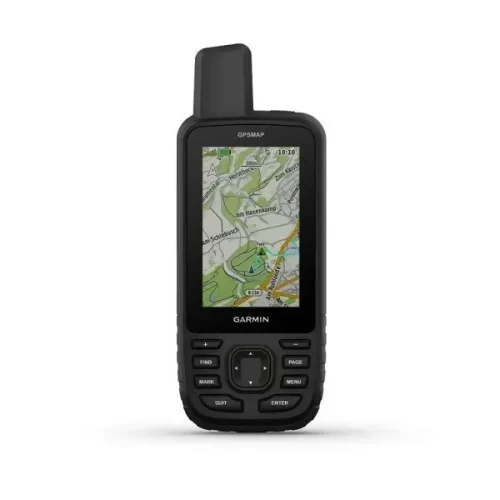
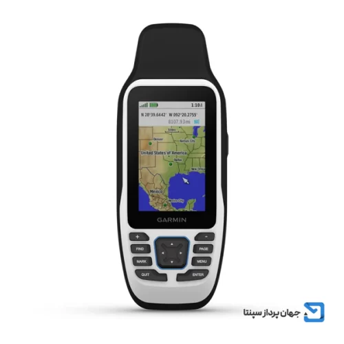
جی پی اس گارمین MAP 66s: این جیپیاس دارای صفحهنمایش لمسی رنگی 3 اینچی، دوربین 8 مگاپیکسلی و قابلیت ارسال پیامهای ماهوارهای است.
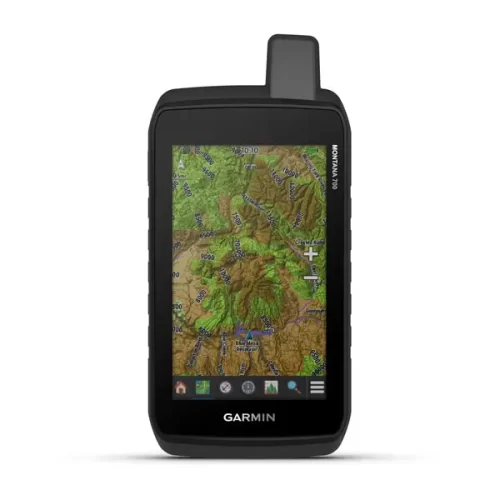
جی پی اس گارمین Montana 700: این جیپیاس دارای صفحهنمایش لمسی رنگی 5 اینچی، دوربین 12 مگاپیکسلی و قابلیت ارسال پیامهای ماهوارهای است.

نقد و بررسیها
هنوز بررسیای ثبت نشده است.